News Summary
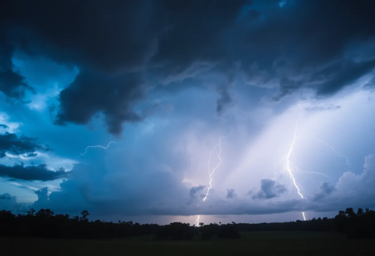
Residents in Columbia and Lexington County faced severe weather alerts on Wednesday morning as the National Weather Service issued tornado and thunderstorm warnings. With wind speeds potentially reaching up to 60 mph and a risk of tornadoes, residents were advised to seek shelter and stay informed of storm developments. Power outages affected nearly 2,000 residents, and damage reports were already coming in. Safety precautions were emphasized as the storms progressed through the region.
Severe Thunderstorm and Tornado Warnings Hit Columbia and Lexington County
On a stormy Wednesday morning, residents of Columbia and Lexington County found themselves under urgent weather alerts as the National Weather Service issued both a severe thunderstorm warning and a tornado warning. As the clock struck 8 a.m., the tornado warning was in effect, adding a sense of urgency to an already intense morning.
What to Expect
The severe weather forecast indicated powerful winds that could reach up to 60 mph sweeping across Columbia, Lexington, Cayce, and West Columbia. Even more alarming, a small chance remained for wind gusts to exceed 74 mph in the eastern Midlands, an area deemed to have the highest potential for tornadoes.
Where the Storms Are Headed
Residents in towns like Irmo and Chapin were advised to stay alert, as the tornado warning covered these areas. Storms were predicted to be close to South Congaree, Springdale, and Red Bank by 7:40 a.m. Following that, areas such as West Columbia, Gaston, Pine Ridge, Oak Grove, the Columbia Metropolitan Airport, and the South Carolina State Farmer’s Market were on high alert by 7:45 a.m.
Staying Safe During the Storm
Given the severity of the situation, the National Weather Service passed on advice for how to stay safe in the face of these storms. Residents in the tornado warning zones were urged to take shelter in a basement or find an interior room on the lowest floor of a sturdy building. If caught outdoors, in mobile homes, or vehicles, the urgency to seek the nearest substantial shelter was clear. Protecting oneself from possible flying debris seemed paramount.
Potential Damage and Power Outages
As always, the threat of severe weather drummed up concerns about the potential damage from strong winds and tornadoes. Possible impacts could include damage to trees, branches, and even roofs. With effects reaching mobile homes and parked vehicles, concerns about falling trees leading to downed power lines and subsequent power outages added an extra layer of worry. Reports indicated that nearly 2,000 residents in Richland and Lexington counties experienced power outages during the storm.
Wind Advisory and Additional Impacts
A wind advisory stretching until 7 p.m. brought further attention to Columbia and the Midlands. Severe weather wasn’t just limited to Columbia; it threatened to spill over into Richland County and neighboring areas, touching Fairfield, Newberry, and Saluda counties. Projections highlighted that storm effects in Columbia could last until 11 a.m., with lingering impacts even into the early afternoon.
Rainfall and Hail Forecast
As far as rainfall was concerned, forecasts showed a significant chance—100%—of rain, with totals possibly nearing three-quarters of an inch, though it was expected that some localized areas might experience higher amounts. Alongside this, pea-sized hail could rear its head, introducing yet another variable to an unpredictable morning.
Storm Progression and Reports
The storm system was expected to continue its eastward journey throughout the morning hours before finally vacating the region by early afternoon. Meanwhile, reports of damage had already begun trickling in, particularly from northern Richland County, highlighting that the storm was making its presence felt.
As everyone braced for the effects of this challenging weather system, Columbia and Lexington County citizens were reminded to stay updated and stay safe.
Deeper Dive: News & Info About This Topic
HERE Resources
Severe Weather Outbreak Expected Across Central and Eastern U.S.
Tropical Storm Debby Causes Chaos in South Carolina
Severe Weather Hits Eastern U.S. with Floods and Snow
Myrtle Beach on High Alert as Severe Weather Approaches
Severe Thunderstorm Warning Issues in Upstate South Carolina
Severe Storms Cause Destructive Flooding Across Southeast U.S.
Severe Weather Alert in Beaufort and Jasper Counties
Southern California Faces Severe Storm and Flooding
Southern California Braces for Severe Storms and Mudslide Threats
Tropical Storm Debby Causes Chaos Across Multiple States
Additional Resources
- The State
- Wikipedia: Tornado
- ABC Columbia
- Google Search: Severe weather South Carolina
- Post and Courier
- Google Scholar: Severe weather impacts
- WLTX
- Encyclopedia Britannica: Weather events
- Country Herald
- Google News: Columbia weather alerts
Author: STAFF HERE HILTON HEAD
The HILTON HEAD STAFF WRITER represents the experienced team at HEREHiltonHead.com, your go-to source for actionable local news and information in Hilton Head Island, Beaufort County, and beyond. Specializing in "news you can use," we cover essential topics like product reviews for personal and business needs, local business directories, politics, real estate trends, neighborhood insights, and state news affecting the area—with deep expertise drawn from years of dedicated reporting and strong community input, including local press releases and business updates. We deliver top reporting on high-value events such as the RBC Heritage golf tournament, Hilton Head Island Wine & Food Festival, and the Gullah Celebration. Our coverage extends to key organizations like the Hilton Head Island-Bluffton Chamber of Commerce and Community Foundation of the Lowcountry, plus leading businesses in tourism and hospitality that power the local economy such as Sea Pines Resort and Sonesta Resort Hilton Head Island. As part of the broader HERE network, including HEREAiken.com, HEREBeaufort.com, HEREChapin.com, HERECharleston.com, HEREClinton.com, HEREColumbia.com, HEREGeorgetown.com, HEREGreenwood.com, HEREGreenville.com, HEREHiltonHead.com, HEREIrmo.com, HEREMyrtleBeach.com, HERENewberry.com, HERERockHill.com, and HERESpartanburg.com, we provide comprehensive, credible insights into South Carolina's dynamic landscape.


 Mays Contracting

