News Summary
The National Weather Service has issued a severe thunderstorm warning for several counties in South Carolina, including parts of Colleton, Berkeley, and Dorchester. The storm, detected near Canadys, is moving northeast at 40 mph and could bring strong winds and heavy rainfall. Residents are advised to stay indoors and keep updated with weather alerts, especially on road safety as local highways may experience hazardous conditions.
Severe Thunderstorm Warning for South Carolina Residents
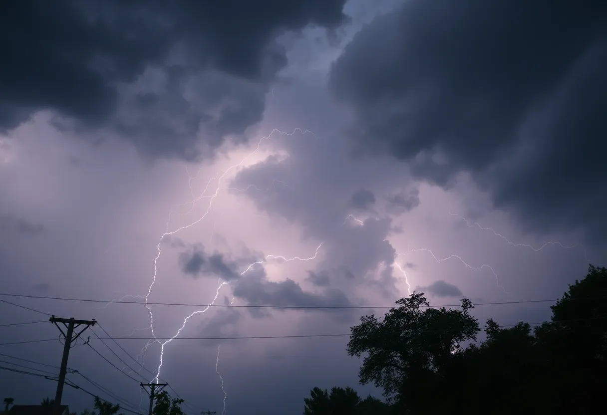
Charleston, SC – Attention, folks! It looks like our week is kicking off with a bang as the National Weather Service (NWS) in Charleston has issued a severe thunderstorm warning for several counties this Monday evening. At precisely 7:26 p.m., weather experts detected a powerful thunderstorm just near Canadys, and it’s migrating northeast at a brisk pace of 40 mph. So, if you live in Inland Colleton, Inland Berkeley, or Dorchester County, it’s time to pay attention!
What’s Happening?
The latest update suggests that the storm could potentially unleash gusty winds, which might knock down tree limbs and send unsecured objects flying around. Nobody wants their patio furniture taken on a joyride, right? The thunderstorm’s path could affect several key towns, including Saint George, Dorchester, Harleyville, Reevesville, Canadys, Cross, Pregnall, Byrd, Giant, and Indian Field. If you’re in these areas, you may want to hunker down for a bit.
Keep Your Eyes on the Roads
And let’s not forget our beloved highways! The severe weather alert means I-26 between mile markers 170 and 188 and I-95 between mile markers 63 and 85 could encounter trouble as the storm rolls through. It’s going to be one of those evenings where being cautious on the road is a must!
Stay Informed!
While it’s essential to stay safe indoors, it’s also vital to stay informed. The NWS advises keeping an ear out for updates via NOAA Weather Radio All Hazards, local TV stations, or even checking in with your favorite news sources. For now, a severe thunderstorm watch is expected to remain until 9 p.m. for a portion of southeast South Carolina. Better safe than sorry!
A Few Facts About Thunderstorms
Did you know that lightning strikes occur about 25 million times annually in the U.S.? Most of these strikes happen in the summer months when thunderstorms are more frequent. If you hear thunder, the risk of lightning increases and peaks right when the storm is overhead. So, remember, when you hear that rumble, it’s best to stay indoors.
Stay Alert on the Roads
As we witness heavy rainfall, be cautious of hydroplaning! This danger arises when water builds up under your tires, making it easy to lose control on wet roads. Just last week, a car found itself trapped in high water near Rutledge Road and Greenbrier Street in Charleston, due to the relentless rain. The moment you see water pooling, especially when you’re driving, take it slow and don’t risk it!
Recent Flooding Concerns
Speaking of water, the heavy rains from earlier in the month did bring about minor flooding in Charleston’s West Side. Traveling was quite a hassle, and if that wasn’t enough, rescue operations were underway for an adult and two children who were safely retrieved from a truck caught in high waters along River Bend Road near Sissonville.
Looking Further Ahead
Beyond our Carolina borders, West Virginia is also bracing itself for heavy rains, with about 1.5 to 3 inches recorded. Flood watches are in effect through the coming days, especially in southern and western parts, anticipating up to 3 inches more rainfall. Governor Patrick Morrisey has even declared a state of preparedness for all 55 counties, showing that Mother Nature isn’t just a concern for the Palmetto State.
Final Notes
So, South Carolina residents, let’s stay smart out there! Don’t let a thunderstorm rattle your window, instead, stay tuned for updates and stay safe. Remember, the storm may soon pass, but being prepared is always in style. Take care out there!
Deeper Dive: News & Info About This Topic
HERE Resources
Severe Thunderstorm Warning Alert in Central South Carolina
Severe Storm Warnings Across the Southeast U.S.
Thunderstorm Alert: McCormick and Edgefield Counties Prepare
Tragic Loss: Community Mourns 9-Year-Old Boy Swept Away by Floods
Severe Weather Hits Columbia: Tornado and Thunderstorm Warnings
Cherokee County, Oklahoma Faces Tragic Incident Amid Storms
Strong Thunderstorm Alert Issued for Upstate South Carolina
Severe Thunderstorms Expected in Hilton Head on Monday
Severe Thunderstorm Alert in Lowcountry, SC
Severe Thunderstorms Expected to Hit Hilton Head
Additional Resources
- WVGazette Mail
- Wikipedia: Severe Thunderstorm
- Myrtle Beach Online
- Google Search: Thunderstorm Warnings
- Live 5 News
- Google Scholar: Thunderstorm Preparedness
- Grice Connect
- Encyclopedia Britannica: Thunderstorm
- WYFF4
- Google News: Severe Weather Updates
Author: STAFF HERE HILTON HEAD
The HILTON HEAD STAFF WRITER represents the experienced team at HEREHiltonHead.com, your go-to source for actionable local news and information in Hilton Head Island, Beaufort County, and beyond. Specializing in "news you can use," we cover essential topics like product reviews for personal and business needs, local business directories, politics, real estate trends, neighborhood insights, and state news affecting the area—with deep expertise drawn from years of dedicated reporting and strong community input, including local press releases and business updates. We deliver top reporting on high-value events such as the RBC Heritage golf tournament, Hilton Head Island Wine & Food Festival, and the Gullah Celebration. Our coverage extends to key organizations like the Hilton Head Island-Bluffton Chamber of Commerce and Community Foundation of the Lowcountry, plus leading businesses in tourism and hospitality that power the local economy such as Sea Pines Resort and Sonesta Resort Hilton Head Island. As part of the broader HERE network, including HEREAiken.com, HEREBeaufort.com, HEREChapin.com, HERECharleston.com, HEREClinton.com, HEREColumbia.com, HEREGeorgetown.com, HEREGreenwood.com, HEREGreenville.com, HEREHiltonHead.com, HEREIrmo.com, HEREMyrtleBeach.com, HERENewberry.com, HERERockHill.com, and HERESpartanburg.com, we provide comprehensive, credible insights into South Carolina's dynamic landscape.


