News Summary
A severe weather alert has been issued for Midlands, SC, as thunderstorms are expected to bring heavy rain, strong wind gusts up to 50 mph, and potential hail. Areas affected include Richland, Sumter, Calhoun, and Clarendon counties. Residents are urged to seek shelter and stay tuned for updates from local news sources. A warning on the risk of hydroplaning during heavy rainfall has also been issued. Additionally, more severe weather is expected next week, including the possibility of tornadoes.
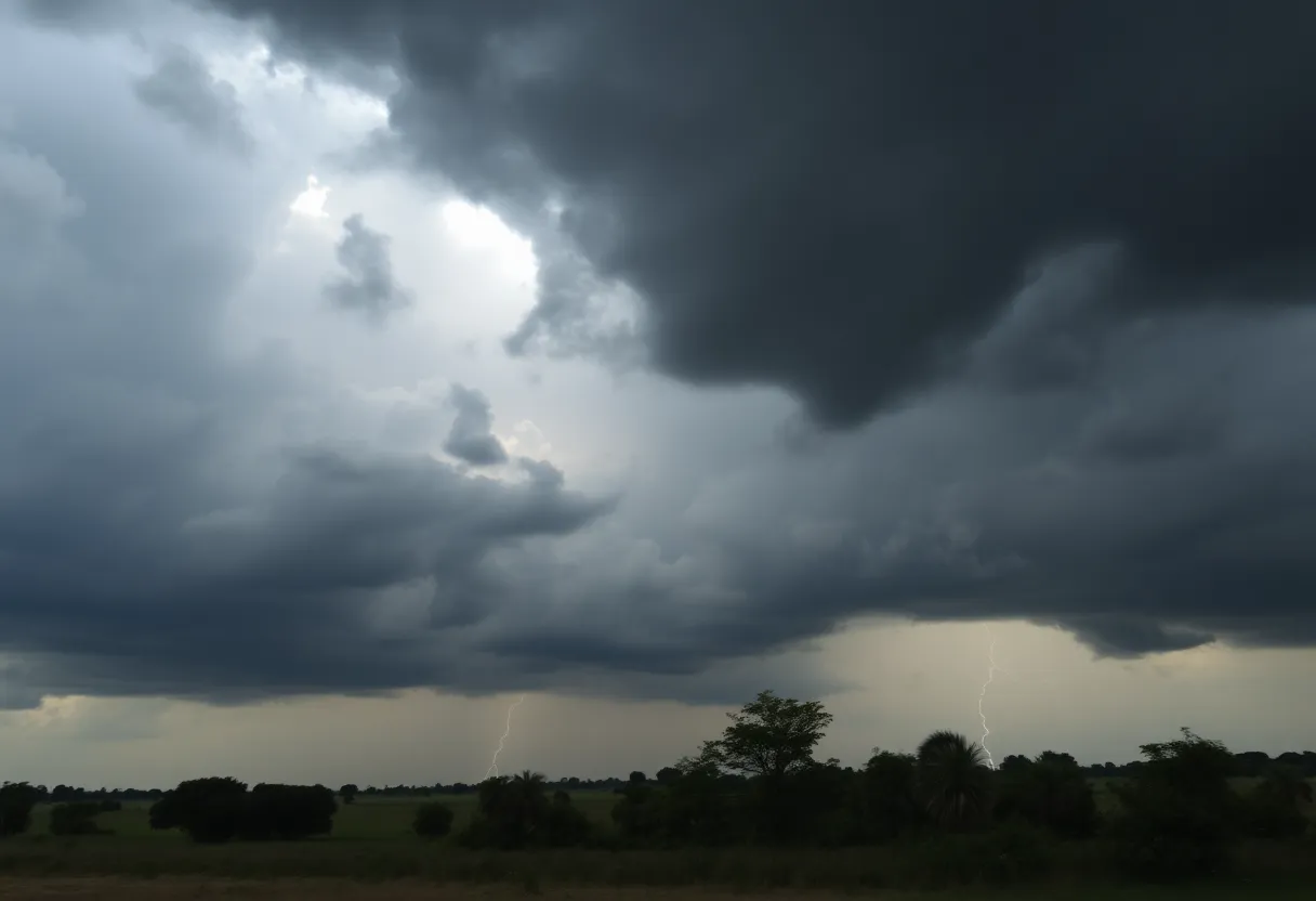
Severe Weather Alert as Thunderstorms Roll into Midlands, SC
Folks in Midlands, SC, you’d better pay attention because the skies are about to get a little rough! As of 4:25 p.m. on Thursday, the National Weather Service (NWS) in Columbia is buzzing with activity, issuing an urgent weather alert for strong thunderstorms expected to roll through until around 5:15 p.m. Talk about timing!
The Storm Zone
This alert isn’t just for anyone; it specifically covers Richland, Sumter, Calhoun, and Clarendon counties. Yes, that means if you’re in any of those areas, it’s time to take this seriously. The storms are already packing a punch, bringing wind gusts of up to 50 mph along with some marble-sized hail (that’s about 0.5 inches for those measuring at home!).
What’s Happening Right Now?
As the clock ticked to 4:25 p.m., Doppler radar was tracking these fierce thunderstorms stretching from near Poinsett State Park clear down to about six miles northwest of Elloree. They’re on the move, heading eastward at about 20 mph, so you’ll want to keep an eye out!
Stay Safe Outdoors
If you happen to be outdoors, now is the time to seek shelter inside a sturdy building. Why? Well, aside from the wind that might just send tree limbs flying and create chaos with unsecured outdoor items, the danger level could increase as these storms roll in. Your safety is the priority!
Places that are likely to feel the brunt of the storm include Poinsett State Park, Pinewood, Rimini, Creston, Lone Star, Low Falls Landing, Privateer, Lakewood, Paxville, and of course, Sumter. If you’re hanging around any of these spots, you know what to do!
Lightning Lurking Around
Now, let’s talk a little about lightning, which tends to strike the U.S. about 25 million times a year. It’s responsible for around 20 fatalities annually, chiefly during the summer months. The chances of lightning getting close will spike as thunderstorms approach, peaking when the storm is overhead. Once the storm passes, the risk diminishes. So, if you can’t find shelter, keep as low as possible, and avoid open fields or tall objects.
A Word on Hydroplaning
And just a heads-up for those driving around: hydroplaning is something to watch for when heavy rain starts falling. Hydroplaning happens when your vehicle loses traction and slides uncontrollably due to excess water buildup in front of the tire. If you can, slow down and avoid sudden maneuvers when roads are wet.
More Weather on the Horizon
If you thought today’s conditions were intense, mark your calendars for Monday, where a more significant severe weather threat is brewing. Yes, that’s right, potential for strong storms and even the possibility of tornadoes are on the docket! Heavy rain and showers are expected in the Midlands, especially on Sunday. The most intense weather is anticipated to hit between 2 p.m. and 7 p.m. Monday when a cold front comes barreling through the region. Be prepared!
Stay Updated
Residents are encouraged to keep their ears tuned to local radio and TV stations for updates and any possible warnings. With weather conditions changing rapidly, make sure you have a reliable way to receive alerts during this stormy season. Better safe than sorry!
As the thunder rumbles and the winds whip up outside, keep those umbrellas handy (if it’s safe) and stay safe, Midlands! Mother Nature might be putting on a show, but that doesn’t mean we have to be part of it!
Deeper Dive: News & Info About This Topic
HERE Resources
Severe Thunderstorm Alert Issued for Saluda County
Severe Thunderstorm Alert Issued for Newberry County
Severe Weather Hits Columbia: Tornado and Thunderstorm Warnings
Severe Weather Warning for Columbia
Severe Weather Warnings Issued for Columbia and Lexington Counties
Severe Thunderstorm and Tornado Warnings Hit Columbia, SC
Severe Thunderstorm and Tornado Warnings Hit Columbia
Severe Thunderstorm and Tornado Warnings Issued in Columbia, SC
Severe Weather Hits Columbia, South Carolina
Severe Thunderstorm and Tornado Warnings in Columbia and Lexington County
Additional Resources
- The State
- Wikipedia: Severe Weather
- WLTX
- Google Search: Severe Thunderstorms
- ABC Columbia
- Google Scholar: Thunderstorm Safety
- WIS TV
- Encyclopedia Britannica: Thunderstorm
- WACH
- Google News: Midlands Weather Alerts
Author: STAFF HERE HILTON HEAD
The HILTON HEAD STAFF WRITER represents the experienced team at HEREHiltonHead.com, your go-to source for actionable local news and information in Hilton Head Island, Beaufort County, and beyond. Specializing in "news you can use," we cover essential topics like product reviews for personal and business needs, local business directories, politics, real estate trends, neighborhood insights, and state news affecting the area—with deep expertise drawn from years of dedicated reporting and strong community input, including local press releases and business updates. We deliver top reporting on high-value events such as the RBC Heritage golf tournament, Hilton Head Island Wine & Food Festival, and the Gullah Celebration. Our coverage extends to key organizations like the Hilton Head Island-Bluffton Chamber of Commerce and Community Foundation of the Lowcountry, plus leading businesses in tourism and hospitality that power the local economy such as Sea Pines Resort and Sonesta Resort Hilton Head Island. As part of the broader HERE network, including HEREAiken.com, HEREBeaufort.com, HEREChapin.com, HERECharleston.com, HEREClinton.com, HEREColumbia.com, HEREGeorgetown.com, HEREGreenwood.com, HEREGreenville.com, HEREHiltonHead.com, HEREIrmo.com, HEREMyrtleBeach.com, HERENewberry.com, HERERockHill.com, and HERESpartanburg.com, we provide comprehensive, credible insights into South Carolina's dynamic landscape.


