News Summary
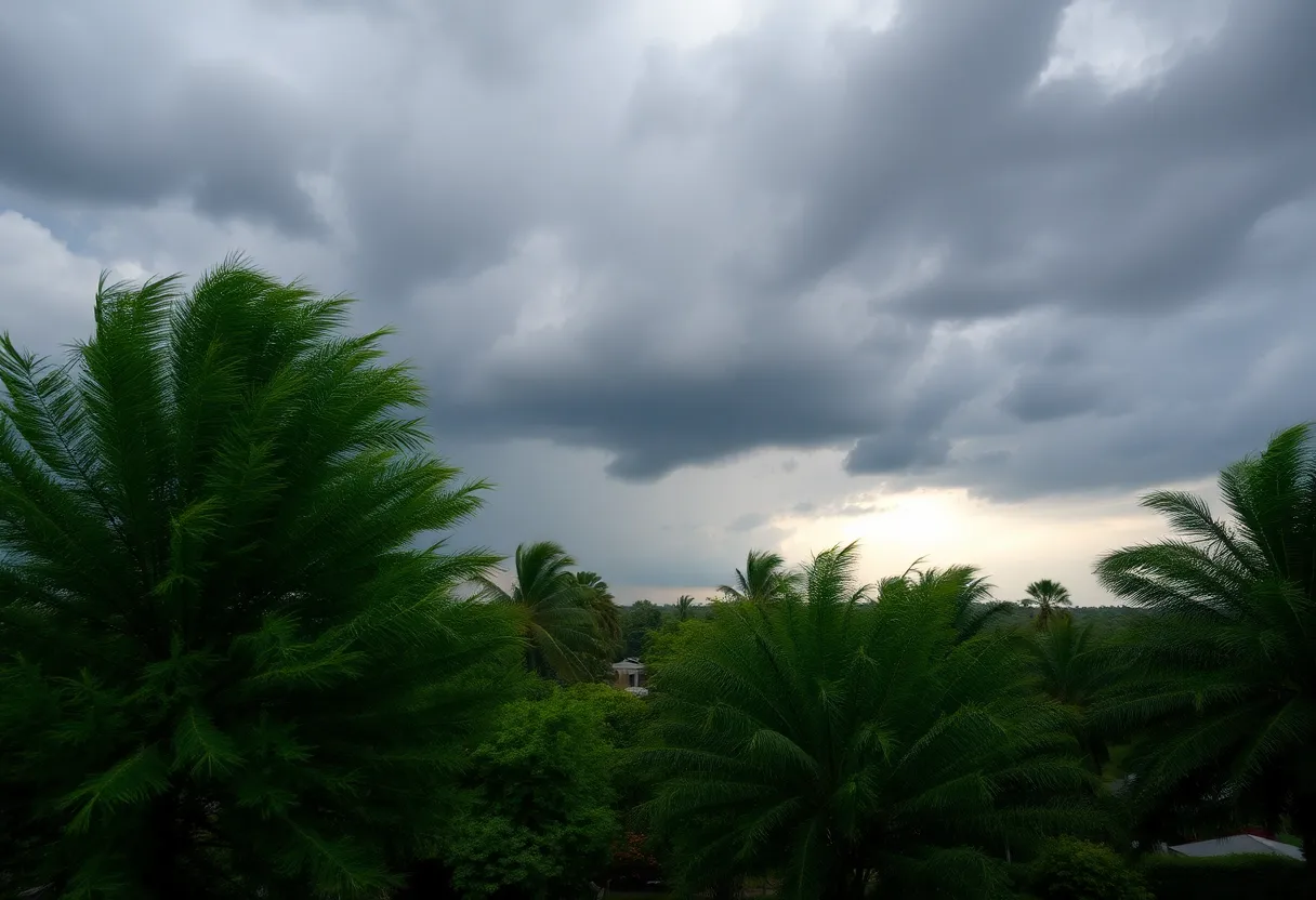
Residents of Greenville and surrounding areas are advised to stay alert as the National Weather Service has issued a severe thunderstorm warning. The warning is in effect until 2:45 p.m., with radar indicating a strong storm moving at 15 mph. Expect gusts up to 40 mph and possible pea-sized hail. Safety precautions are advised, including seeking shelter indoors. Areas at risk include scenic parks and regions previously affected by severe storms just days prior.
Severe Thunderstorm Warning in Greenville-Spartanburg Area!
Attention residents of Greenville and nearby areas! If you’ve just looked outside and noticed some dark skies rolling in, you’re not imagining things. Just after 2 p.m. on Tuesday, the National Weather Service (NWS) sounded the alarm with a severe thunderstorm warning for regions including Pickens Mountains, Greater Pickens, and Greenville County.
What’s Happening?
The warning will stay active until about 2:45 p.m. today, and it’s best to take it seriously. Radar is showing a strong thunderstorm located about 11 miles north of Pickens, near the stunning Table Rock State Park. This storm is moving east at a pace of 15 mph, which means it could reach various spots in no time flat!
What Should You Expect?
Heads up! Expect some wild winds, with gusts reaching up to 40 mph. And for those wondering about hail, the NWS is predicting pea-sized hail measuring about 0.25 inches. This could mean minor damage to outdoor items, so if you have decorations or furniture outside, it might be a good idea to bring them in quickly.
Keep an Eye Out for Damage
With winds like these, there’s a risk of downed tree limbs and other unsecured objects getting tossed around. Places you might want to pay attention to include not just the parks but also scenic areas like Jocassee Gorges, Caesars Head State Park, and Sassafras Mountain.
Safety First!
If you’re outdoors and see the storm approaching, the best advice is to find shelter indoors. If you can’t get indoors quickly, try to stay low and make sure to avoid any tall trees or open areas where lightning might strike. Remember, 25 million lightning strikes happen each year across the U.S., so it’s always better to be safe than sorry!
Recent Severe Storms
If you thought you were in the clear after last weekend, think again! Just last Saturday night, a severe thunderstorm warning was issued for several areas, including Anderson, Greenville, Laurens, Pickens, and Spartanburg counties. Winds reached a wild 60 mph, and there were reports of hail measuring up to 0.75 inches. The storm was cruising along a line from northwest of Pickens to southeast of Anderson, moving at 45 mph. Impacted areas included bustling spots like Greenville Downtown and Easley.
In fact, the storm proved to be so intense it caused another severe storm warning to roll out early Sunday morning, affecting Greenville County once again. The thunderstorm was coming down hard over areas like Berea, with wind gusts to be taken seriously.
Water Safety Alert
Those by the water, take special note! The risk of lightning increases dramatically with these storms, with strikes capable of reaching as far as 15 miles from the storm center. So, while the rain might look refreshing, it’s wise to stay indoors when storms are rolling in.
RCWhile we soak up the sun one moment, thunderstorms can roll in faster than we can say, “Where’s the umbrella?” Stay safe and keep an eye on the sky!
Deeper Dive: News & Info About This Topic
HERE Resources
Severe Thunderstorms and Flood Warnings Hit Charleston Area
Severe Thunderstorm Alert Hitting South Carolina Counties
Severe Thunderstorm Warnings Issued for Upstate South Carolina
Columbia Residents Prepare for Severe Thunderstorms
Severe Thunderstorm Alert in Columbia, South Carolina
Severe Storms Cause Widespread Power Outages in South Carolina
Severe Weather Alert for South Carolina: Strong Thunderstorms Expected
Severe Thunderstorms Hit Central and Southeastern South Carolina
Severe Weather Action in Texas as Emergency Resources Mobilized
Beach Adventures Await in Coastal Georgia
Additional Resources
- Greenville Online: Severe Thunderstorm Warning for Greenville County
- Wikipedia: Thunderstorm
- Herald Online: Weather News
- Google Search: Greenville weather thunderstorm
- Independent Mail: Severe Thunderstorm Warning for Anderson County
- Encyclopedia Britannica: Thunderstorm
- Weather.com: Greenville Weather
- Google News: Severe weather Greenville
Author: STAFF HERE HILTON HEAD
The HILTON HEAD STAFF WRITER represents the experienced team at HEREHiltonHead.com, your go-to source for actionable local news and information in Hilton Head Island, Beaufort County, and beyond. Specializing in "news you can use," we cover essential topics like product reviews for personal and business needs, local business directories, politics, real estate trends, neighborhood insights, and state news affecting the area—with deep expertise drawn from years of dedicated reporting and strong community input, including local press releases and business updates. We deliver top reporting on high-value events such as the RBC Heritage golf tournament, Hilton Head Island Wine & Food Festival, and the Gullah Celebration. Our coverage extends to key organizations like the Hilton Head Island-Bluffton Chamber of Commerce and Community Foundation of the Lowcountry, plus leading businesses in tourism and hospitality that power the local economy such as Sea Pines Resort and Sonesta Resort Hilton Head Island. As part of the broader HERE network, including HEREAiken.com, HEREBeaufort.com, HEREChapin.com, HERECharleston.com, HEREClinton.com, HEREColumbia.com, HEREGeorgetown.com, HEREGreenwood.com, HEREGreenville.com, HEREHiltonHead.com, HEREIrmo.com, HEREMyrtleBeach.com, HERENewberry.com, HERERockHill.com, and HERESpartanburg.com, we provide comprehensive, credible insights into South Carolina's dynamic landscape.


