News Summary
A severe weather alert has been issued for Upstate South Carolina, warning residents to prepare for strong thunderstorms, hail, and potential tornadoes. The alert affects several counties including Laurens, Union, and Chester until 4:45 p.m. today. Wind gusts may reach up to 40 mph, with marble-sized hail possible. Communities are advised to secure outdoor items and seek shelter during the storm, as strong winds and hazard conditions persist across the region. Keep an eye out for additional storms this weekend as further weather threats loom.
Severe Weather Alert Issued for Upstate SC: Brace for Thunderstorms, Hail, and Tornado Threats!
Hey there, Upstate South Carolina! If you’ve looked outside recently, you may have noticed that the weather is getting a bit wild. Earlier this afternoon, an updated severe weather alert was issued by the National Weather Service right here in Greenville-Spartanburg. So, let’s get down to the nitty-gritty and see what’s brewing in the skies.
What’s Happening?
This alert will be in effect until 4:45 p.m. today, affecting several areas including Laurens, Union, and Chester counties. Expect strong thunderstorms that could bring some gusty surprises!
What’s in the Forecast?
Prepare for wind gusts that could soar up to 40 mph, and don’t be surprised if you see some marble-sized hail (about 0.5 inches) falling from the sky. Just this afternoon, Doppler radar was tracking a hefty thunderstorm about 8 miles southwest of Union, right by Rose Hill State Park. It’s moving northeast at a brisk pace of 30 mph, so things could get quite exciting— and maybe a little scary!
Safety First!
Now, we all need to take this seriously. Strong winds can knock down tree limbs and blow around anything that isn’t secured. That could lead to minor hail damage on outdoor items, so it might be best to bring in anything that could get tossed around!
Communities in the suspected storm zone include Cross Keys, Leeds, Lockhart, Sedalia, Adamsburg, Monarch Mill, Santuc, Union, and Buffalo. If you’re outdoors, it’s best to seek shelter immediately. Better safe than sorry!
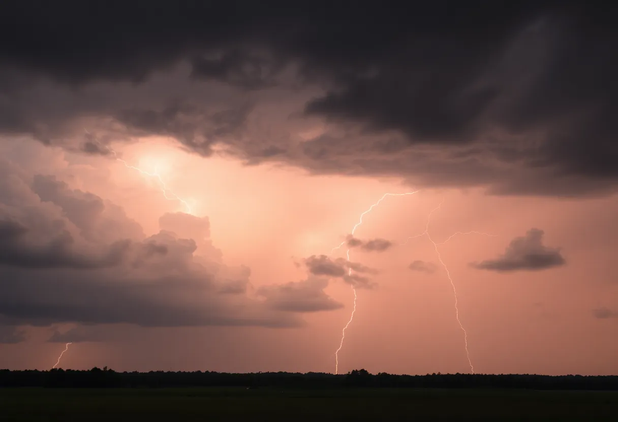
Watch Out for Lightning!
Lightning strikes across the U.S. around 25 million times annually, especially during summer storms, which sadly leads to about 20 fatalities each year. When thunderstorms are rolling in, the risks from lightning increase rapidly, peaking when the storm is right overhead. So, stay inside until it passes!
Hydroplaning Hazard
And speaking of driving—be careful out there! When the roads get wet, hydroplaning can happen. This means your vehicle can slide when water builds up in front of the tires. Excessive speed, under-inflated tires, and standing water on the roadways are the primary culprits. So slow down and keep your tires in check!
Weekend Weather – More to Prepare For!
If you think today is concerning, hold on to your hats because another storm system is slotted to impact the region this weekend, specifically across Anderson, Greenville, and Spartanburg counties on March 15-16. This one promises heavy rain and possibly severe storms as well!
What to Expect
Meteorologist reports indicate we could see strong winds, large hail, and even tornadoes. A Hazardous Weather Outlook has already been issued for multiple counties across South Carolina, North Carolina, and Georgia. Be on the lookout for damaging wind gusts and large hail, and stay alert for localized heavy rain that might cause minor flooding.
Windy Conditions Ahead!
Over the weekend, expect gusty winds that range from 35-50 mph in the North Carolina mountains and about 25-35 mph elsewhere. Here’s a quick look at the forecast:
- Saturday: Mostly cloudy, high near 77, with morning winds at 8-13 mph.
- Saturday Night: Showers and thunderstorms possible after 2 a.m., low around 62.
- Sunday: Showers and possibly thunderstorms before 3 p.m., high near 73.
- Monday: Sunny with a high near 64.
Weather alerts indicate that storms will be moving in from the west, and here’s the timing: expect storms to arrive in Oconee and Anderson counties around 7 p.m., Greenville at 8 p.m., and Spartanburg at 9 p.m..
Final Thoughts
Remember, stay tuned into the weather updates and keep those emergency kits at the ready. As spring approaches, we’re in for some turbulent weather, so hang onto your hats and stay safe out there, Upstate SC!
Deeper Dive: News & Info About This Topic
HERE Resources
Myrtle Beach Faces Wildfire Crisis Amid State of Emergency
Beaufort Set to Host 2025 Air Show with Blue Angels
Wildfires Rock North and South Carolina
Severe Thunderstorms Expected in York County
Anderson County Braces for Severe Thunderstorms
Wildfires Devastate Western North Carolina, Over 6,000 Acres Burned
Thunderstorm Warnings Issued for Upstate South Carolina
Severe Thunderstorm and Tornado Alerts for Upstate South Carolina
Hilton Head Prepares for Severe Weather Amid Spring Break
Severe Storms Expected in Myrtle Beach Area
Additional Resources
- Herald Online
- Wikipedia: Severe Weather
- Fox Carolina
- Google Search: Severe Weather Upstate South Carolina
- Greenville Online
- Google Scholar: Tornadoes in South Carolina
- WYFF4
- Encyclopedia Britannica: Weather
Author: STAFF HERE HILTON HEAD
The HILTON HEAD STAFF WRITER represents the experienced team at HEREHiltonHead.com, your go-to source for actionable local news and information in Hilton Head Island, Beaufort County, and beyond. Specializing in "news you can use," we cover essential topics like product reviews for personal and business needs, local business directories, politics, real estate trends, neighborhood insights, and state news affecting the area—with deep expertise drawn from years of dedicated reporting and strong community input, including local press releases and business updates. We deliver top reporting on high-value events such as the RBC Heritage golf tournament, Hilton Head Island Wine & Food Festival, and the Gullah Celebration. Our coverage extends to key organizations like the Hilton Head Island-Bluffton Chamber of Commerce and Community Foundation of the Lowcountry, plus leading businesses in tourism and hospitality that power the local economy such as Sea Pines Resort and Sonesta Resort Hilton Head Island. As part of the broader HERE network, including HEREAiken.com, HEREBeaufort.com, HEREChapin.com, HERECharleston.com, HEREClinton.com, HEREColumbia.com, HEREGeorgetown.com, HEREGreenwood.com, HEREGreenville.com, HEREHiltonHead.com, HEREIrmo.com, HEREMyrtleBeach.com, HERENewberry.com, HERERockHill.com, and HERESpartanburg.com, we provide comprehensive, credible insights into South Carolina's dynamic landscape.


