
Impending severe thunderstorm threatening Columbia, SC
Article Sponsored by:
Mays Contracting is more than just a roofing company; it’s a family legacy built on trust and quality. Founded in 1979, we’ve been serving the community for over four decades. Our story began with a simple vision: to provide exceptional roofing services for both residential and commercial properties. This vision has guided us ever since, as we’ve grown from a small, family-run operation to a trusted name in the industry.

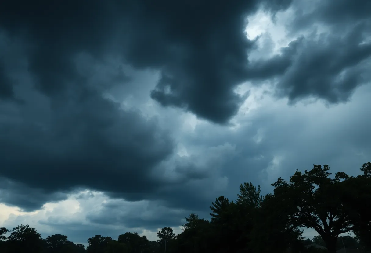
Residents in Columbia and nearby Midlands are on high alert due to severe thunderstorms forecasted to hit the area. The National Weather Service has issued warnings, advising locals to secure loose items and find shelter as winds may reach 50 mph. Previous storms have already caused significant damage, leaving thousands without power. Safety precautions against hydroplaning and lightning are crucial as the storms approach. Despite the severe weather, the week ahead hints at a return to warmer days.
Residents of Columbia and the surrounding Midlands area have been keeping a close eye on the sky as severe thunderstorms roll through. An updated report from the National Weather Service (NWS) in Columbia, SC, issued at 10:12 p.m. on Monday, is urging locals to brace themselves for strong thunderstorms until 10:45 p.m. This alert covers various counties including Chesterfield, Kershaw, Richland, Lee, Sumter, Calhoun, and Clarendon, so if you’re living in those areas, it’s time to take precautions!
Those venturing outside should prepare for wind gusts reaching up to 50 mph. The latest readings from Doppler radar are showing that these ferocious storms are making their way from near Camden to Gadsden, moving eastward at approximately 45 mph. With these gusty winds, there’s a real risk for downed tree limbs and flying debris, so it’s essential to secure any loose objects around your yard.
Big cities like Columbia, Sumter, and Camden, along with areas like Bishopville, Shaw Air Base, and Lake Wateree Dam, are on the front lines of this weather event. Travelers should also be cautious on the roads, especially along Interstate 20 and Interstate 95, where the warning is in effect.
Okay folks, let’s talk safety. If you find yourself outdoors as the storms approach, the NWS strongly advises finding shelter inside a sturdy building to stay out of harm’s way. Remember, thunderstorms can bring with them an alarming number of lightning strikes; in fact, around 25 million lightning strikes hit the U.S. each year, mostly during the summer months!
Be cautious of hydroplaning, especially as rains begin to fall. Hydroplaning happens when water builds up in front of a tire quicker than the car’s weight can push it away—leading to lost control. The top three contributors to hydroplaning involve speed, tire tread, and water accumulation on the road. Stay safe out there and reduce your speed during these storms!
Just to give you a bit of context, another round of severe thunderstorm warnings was issued for Columbia, Lexington, and West Columbia over the weekend. Those storms packed winds of up to 60 mph and even potential hail, leading to extensive damage; in fact, on Saturday night alone, Columbia experienced winds that caused downed branches, trees, and utility poles, resulting in power outages affecting over 10,000 customers.
The forecast seems to show that Sunday and Monday could be particularly dicey, with winds surfacing as the main threat. The NWS indicated that areas south of the Interstate 20 corridor would likely suffer significant impacts during this period, with storms expected to roll through from 10 a.m. to 4 p.m. on Sunday and possible tornadoes on Monday. Severe weather conditions may not only affect trees and roofs but could also bring major damage to vehicles and mobile homes.
The aftermath of the storms has already been felt, with Columbia’s Materials Recovery Facility taking a serious hit from the weekend weather, halting recycling services indefinitely. By Monday morning, things were looking up as most of the power outages in Columbia were restored, down from a high of 8,500 customers affected. The local fire department has responded to numerous storm damage calls, totaling around 30 incidents.
And while we’re in storm mode, don’t forget that the forecast does hint at a potential return to near-record warmth later this week, with temperatures approaching 90 degrees. So, hang in there, Columbia! We’ll be back to brighter days before we know it!
Severe Thunderstorm Alert in Columbia, South Carolina
Severe Storms Cause Widespread Power Outages in South Carolina
Severe Weather Alert for South Carolina: Strong Thunderstorms Expected
Low Pressure System Brewing Off the Southeast Coast
Thunderstorm Alert Issued for Chesterfield County
Severe Thunderstorms and Tornadoes Strike South Carolina
Coastal Flood Advisory Issued for Charleston Area
Flood Advisory Issued for Beaufort and Jasper Counties
Major Weather Changes Unfolding in Charleston
Severe Weather Hits South Carolina and Maryland
Quality Roof Construction and Repair in Lexington, Richland, Newberry and Laurens Counties for over 40 Years.
News Summary JINYA Ramen Bar has opened its second location in South Carolina at 850…
News Summary Integer Technologies, a defense technology firm, is poised to significantly impact South Carolina's…
News Summary Pamela Evette, the Lieutenant Governor of South Carolina, will be the keynote speaker…
News Summary Seibels Bruce, a long-standing insurance company in South Carolina, has officially dissolved, ending…
News Summary Starting June 24, Hilton Head will introduce new parking rates for its beaches,…
News Summary A 12-year-old girl has been airlifted to a medical facility in Savannah, Georgia…