News Summary
Charleston, S.C., is experiencing significant weather changes as a cold front approaches, bringing a welcome relief from recent heat and humidity. Residents can expect mild temperatures in the low 70s tonight, followed by a warm but manageable daytime forecast in the low to mid 90s. As the week progresses, humidity is set to decrease with comfortable highs in the 80s for the weekend. However, thunderstorms are also predicted, with flooding warnings issued for the Southeastern U.S. Stay informed and prepared during these weather shifts.
Major Weather Changes Unfolding in Charleston
Charleston, S.C., is buzzing with excitement as a significant change in weather sweeps through the Carolinas. After days filled with sweltering heat and sticky humidity, residents can finally breathe a sigh of relief as a cold front is set to cross the region on Wednesday. This shift signals an end to our sweaty streak, ushering in a much-appreciated breeze!
Tonight’s Mild and Mellow Weather
As for tonight? Don’t worry; it’s not all that bad! Temperatures are expected to stay in the low 70s – so you may want to enjoy an evening stroll or gather with friends outside. One thing to keep in mind, though, is that humidity levels are still hanging around with those gentle southerly winds, creating a rather balmy atmosphere.
Wednesday Morning Commute: High Clouds Ahead
If you’re heading out tomorrow morning, expect a bit of cloud cover as you make your way to work. While storms may be developing to the west, they should weaken before reaching the Midlands. There’s also a slight chance of isolated showers inland, so perhaps keep an umbrella handy, just in case!
Daytime Forecast: Warm but Manageable
As the day unfolds, temperatures will soar into the low to mid 90s for many parts, while our coastal friends will enjoy temperatures in the 80s. Thankfully, the heat index is likely to remain near or below 100°, making it feel a bit more bearable. Oh, and keep those hats on because wind gusts could reach up to 25-30 MPH before sunset!
Cool Down Ahead: The Rest of the Week
Looking ahead, the second half of the week is set to bring in less humidity and more pleasant temperatures as high pressure rolls in. Forecasts indicate that we could see highs drop down into the low to mid 80s come Friday and Saturday. Oh, and rejoice – morning lows are expected to sit comfortably in the 50s and 60s!
Memorial Day Weekend: Warm Start, Humid Finish
As we gear up for the Memorial Day weekend, Saturday is expected to start off dry and warm. However, don’t let your guard down just yet! By Sunday, humidity levels are forecast to rise again, and there’s even a small chance for rain in the afternoon. For those planning picnics, just keep an eye on the skies!
Thunderstorm Alert in Place
Meanwhile, officials have issued a report cautioning about strong thunderstorms for Charleston County until 4:30 p.m. Wednesday. These storms, moving eastward at about 20 MPH, could potentially cause minor damage to trees and send some unsecured objects flying. As always, safety first!
The Rain Records Keep Shattering
This past week has been particularly notable for our local weather, especially over on May 11 when Charleston International Airport registered a whopping 1.99 inches of rain, breaking a record that was set way back in 1952. Downtown Charleston followed suit with 2.06 inches of rain, shattering a 126-year-old record! Now, if that’s not impressive, I don’t know what is!
Flood Warnings for the Southeastern U.S.
Moreover, a flood threat has been issued for parts of the Southeastern U.S., including alerts for Alabama, Florida, and South Carolina. Rainfall totals in some areas could reach anywhere from 3-5 inches, with isolated cases possibly hitting up to 7 inches. So if you’re out and about, be cautious of any potential flooding on the roads.
As we navigate these weather changes, remember to stay prepared, stay safe, and most importantly, stay dry! Hopefully, everything will settle down soon so we can enjoy the sunny days of summer ahead. Cheers to clearer skies!
Deeper Dive: News & Info About This Topic
HERE Resources
Severe Thunderstorm Warnings Affect York and Chester Counties
Stormy Weather Wreaks Havoc in Dorchester County
Investigation Begins on Hilton Head Island After Woman Found Dead
Severe Thunderstorm Warnings in Upstate South Carolina
Severe Thunderstorm Alert Issued for Newberry and Fairfield Counties, SC
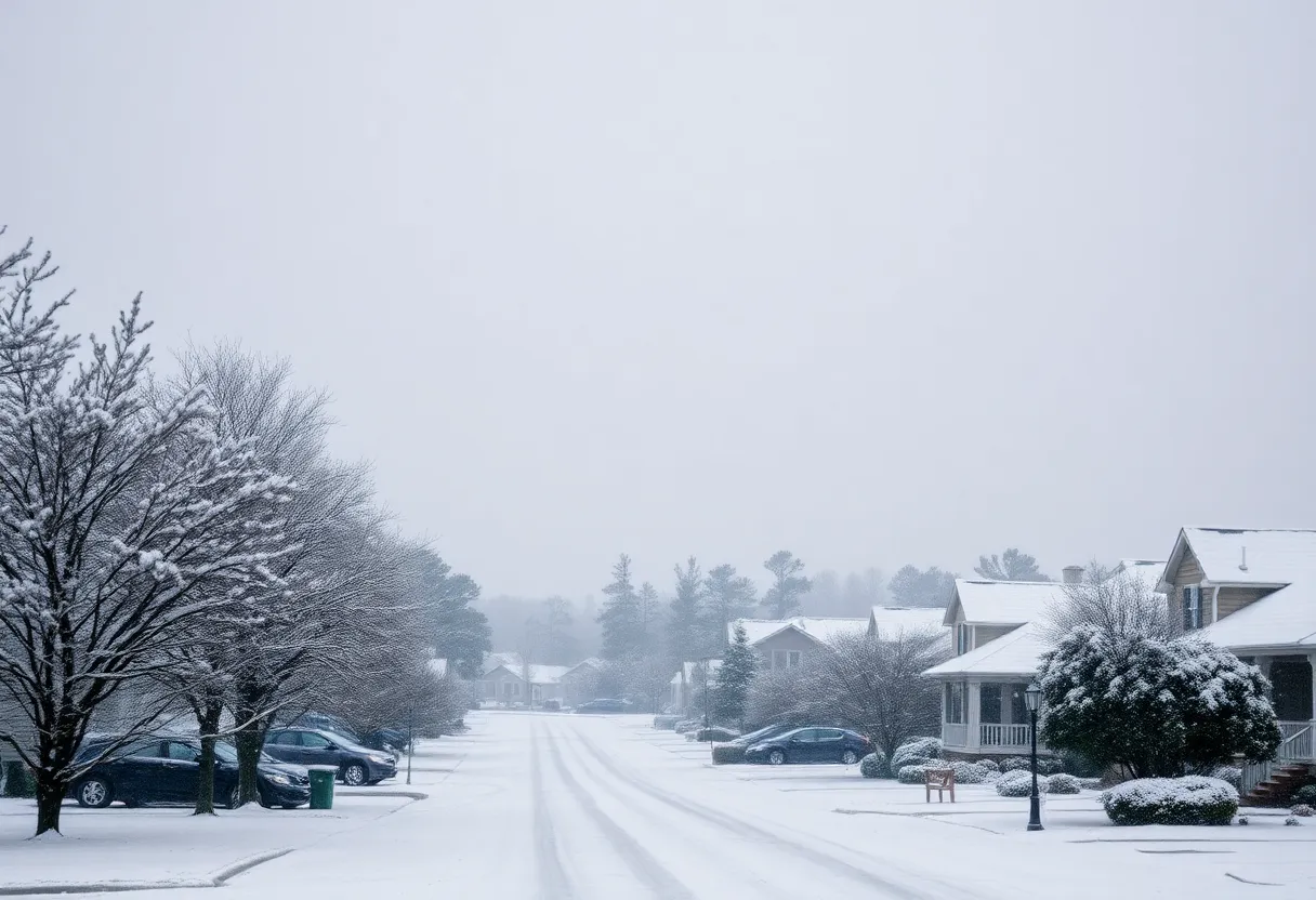
Columbia Prepares for Major Winter Storm with Snowfall Expected
Funding Denied for Hilton Head Island Bridge Project
South Carolina Ranks as the Top Growth State for 2024
Severe Thunderstorms Hit Upstate South Carolina and Western North Carolina
Severe Thunderstorm Warnings Issued for Sumter and Clarendon
Additional Resources
- Island Packet: Weather News
- Wikipedia: Weather
- Fox Weather: Flash Flood Threat
- Google Search: Charleston weather changes
- WLTX: South Carolina Storm Forecast
- Encyclopedia Britannica: Hydrometeorology
- Count On 2: Severe Weather on Wednesday
- Google News: Severe Weather Charleston
- WYFF4: Extreme Hail Threat
Author: STAFF HERE HILTON HEAD
The HILTON HEAD STAFF WRITER represents the experienced team at HEREHiltonHead.com, your go-to source for actionable local news and information in Hilton Head Island, Beaufort County, and beyond. Specializing in "news you can use," we cover essential topics like product reviews for personal and business needs, local business directories, politics, real estate trends, neighborhood insights, and state news affecting the area—with deep expertise drawn from years of dedicated reporting and strong community input, including local press releases and business updates. We deliver top reporting on high-value events such as the RBC Heritage golf tournament, Hilton Head Island Wine & Food Festival, and the Gullah Celebration. Our coverage extends to key organizations like the Hilton Head Island-Bluffton Chamber of Commerce and Community Foundation of the Lowcountry, plus leading businesses in tourism and hospitality that power the local economy such as Sea Pines Resort and Sonesta Resort Hilton Head Island. As part of the broader HERE network, including HEREAiken.com, HEREBeaufort.com, HEREChapin.com, HERECharleston.com, HEREClinton.com, HEREColumbia.com, HEREGeorgetown.com, HEREGreenwood.com, HEREGreenville.com, HEREHiltonHead.com, HEREIrmo.com, HEREMyrtleBeach.com, HERENewberry.com, HERERockHill.com, and HERESpartanburg.com, we provide comprehensive, credible insights into South Carolina's dynamic landscape.