News Summary
The National Weather Service has issued a weather alert due to heavy showers and potential flooding in Charleston and Berkeley Counties. Residents are urged to take precautions and avoid flooded areas. With risks of hydroplaning and high winds, safety measures are crucial, especially for those in flood-prone regions. Meanwhile, a Winter Storm Watch is in effect for parts of West Virginia. Stay informed as weather conditions evolve.
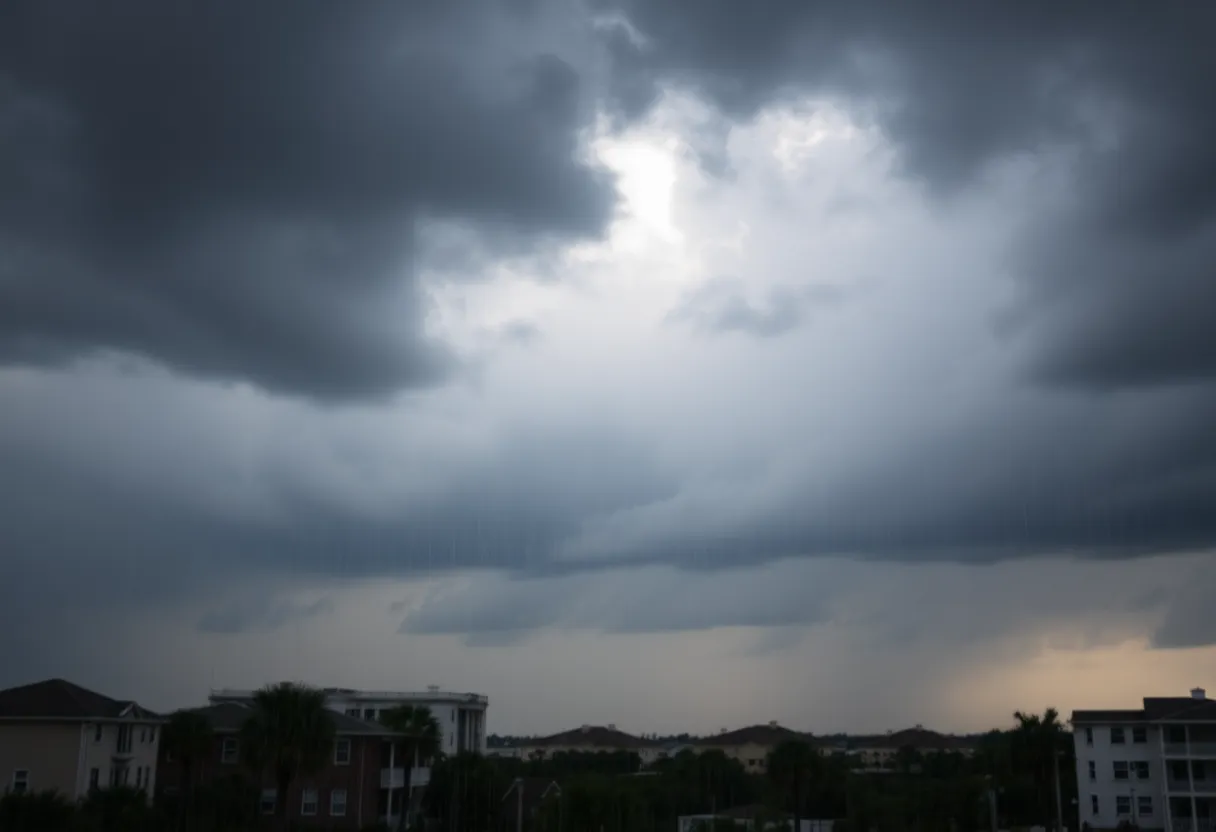
Charleston, SC – The National Weather Service (NWS) Charleston has issued a weather alert for heavy showers and the risk of flooding affecting portions of Berkeley and Charleston Counties. The updated alert was released at 2:01 p.m. on Monday, warning residents to remain vigilant until 2:30 p.m.
The alert primarily impacts Inland Berkeley and Tidal Berkeley areas, as well as Charleston County. At approximately 2:00 p.m., NWS Doppler radar identified a hazardous shower near Huger, located 8 miles east of Moncks Corner, moving northward at a speed of 35 mph.
Residents are advised to anticipate minor damage to tree limbs and warnings of light, unsecured items being blown around. The NWS has specifically alerted of potential torrential rainfall that could lead to flooding in low-lying and poorly drained zones. It is critical for drivers to avoid navigating through flooded roadways and be aware that hydroplaning risks increase in these conditions. Hydroplaning, a situation where a vehicle glides uncontrollably on wet surfaces due to water build-up, can be exacerbated by factors such as tire tread depth, vehicle speed, and road conditions.
For those affected, damage reporting can be directed to the Charleston National Weather Service at 1-888-383-2024 when it is safe to do so. Although a previous Flood Advisory expired at 1:45 p.m., and the more severe rain has shifted northeast, residents in flood-prone regions are still advised to move to higher ground immediately. Precautionary measures include securing homes, disconnecting utilities and appliances, and avoiding submerged areas, as even 12 inches of rushing water has the potential to carry away most vehicles.
The ongoing severe thunderstorm conditions are accompanied by strong wind gusts that can exceed 60 mph. Due to the severe weather threat, several school districts in the Lowcountry have adjusted their schedules accordingly to ensure student safety.
Additionally, for residents in West Virginia, a Winter Storm Watch is currently in effect, with forecasts indicating potential travel disruptions due to snow, freezing rain, and rain. Appalachian Power is taking precautions in anticipation of possible utility issues arising from freezing rain events across the region.
In summary, as heavy showers and flood risks persist in Berkeley and Charleston Counties, residents are urged to stay alert, take necessary safety measures, and remain informed through local updates. The evolving weather conditions remind communities to prioritize safety and exercise caution while navigating potential hazards.
Deeper Dive: News & Info About This Topic
HERE Resources
Tropical Storm Helene Causes Widespread Damage in Beaufort County
Flood Warnings Issued for Hilton Head After Weekend Storms
Thunderstorm Alert Issued in Laurens and Union Counties
Strong Thunderstorms Roar into South Carolina
Significant Wildfire Activity in South Carolina
South Carolina Prepares for Major Winter Weather Event
Charleston Issues Severe Thunderstorm Warnings as Storms Approach
Charleston, SC Issues Severe Thunderstorm Warnings
Severe Thunderstorm and Tornado Watch Issued for Savannah
Severe Thunderstorm Warnings Issued for Lowcountry
Additional Resources
- The State: Weather Alert for Charleston
- Wikipedia: Weather Alert
- Herald Online: Weather News Update
- Google Search: Weather Alerts
- Count On 2: Weather Alert for Damaging Winds
- Google Scholar: Weather Safety Tips
- Charleston Gazette-Mail: Winter Storm Warning Update
- Encyclopedia Britannica: Weather Safety
- Live 5 News: First Alert Winter Storm Warning
- Google News: Winter Storm Warnings

Author: STAFF HERE HILTON HEAD
The HILTON HEAD STAFF WRITER represents the experienced team at HEREHiltonHead.com, your go-to source for actionable local news and information in Hilton Head Island, Beaufort County, and beyond. Specializing in "news you can use," we cover essential topics like product reviews for personal and business needs, local business directories, politics, real estate trends, neighborhood insights, and state news affecting the area—with deep expertise drawn from years of dedicated reporting and strong community input, including local press releases and business updates. We deliver top reporting on high-value events such as the RBC Heritage golf tournament, Hilton Head Island Wine & Food Festival, and the Gullah Celebration. Our coverage extends to key organizations like the Hilton Head Island-Bluffton Chamber of Commerce and Community Foundation of the Lowcountry, plus leading businesses in tourism and hospitality that power the local economy such as Sea Pines Resort and Sonesta Resort Hilton Head Island. As part of the broader HERE network, including HEREAiken.com, HEREBeaufort.com, HEREChapin.com, HERECharleston.com, HEREClinton.com, HEREColumbia.com, HEREGeorgetown.com, HEREGreenwood.com, HEREGreenville.com, HEREHiltonHead.com, HEREIrmo.com, HEREMyrtleBeach.com, HERENewberry.com, HERERockHill.com, and HERESpartanburg.com, we provide comprehensive, credible insights into South Carolina's dynamic landscape.


